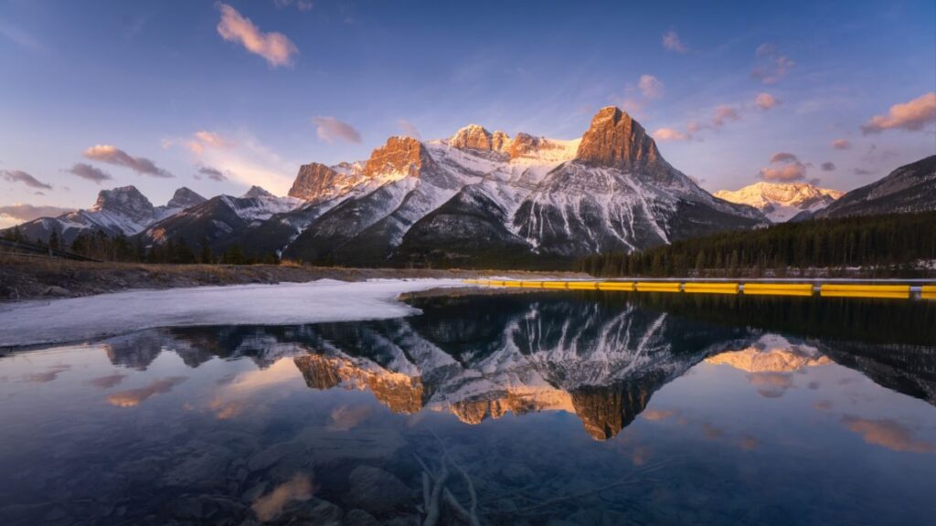
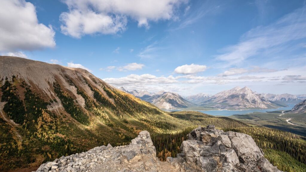
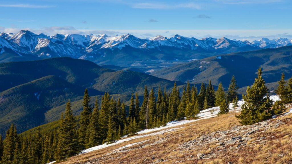
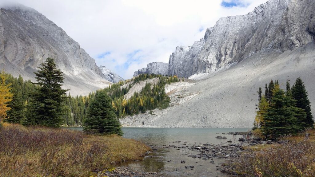
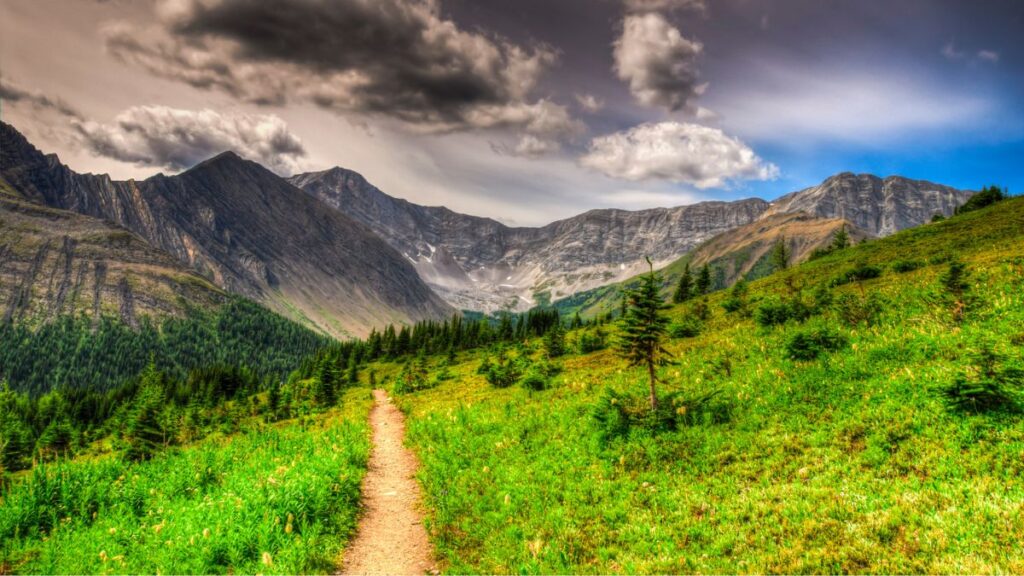
25 Best Kananaskis Hikes And Multi-Day Camping Trips
Roughly an hour west of Calgary or an hour east of Banff National Park lies the sprawling wilderness playground of Kananaskis Country. It is an idyllic escape with some of the best hiking and most accessible backcountry camping in Canada.
Kananaskis Country covers over 4,000 square kilometres (1,540 square miles) of prairie grasslands, wetlands, rivers, valleys and mountains from the foothills west of Calgary to the Continental Divide where it meets Banff National Park and Kootenay National Park.
This wilderness protected area was officially created in 1978 when Alberta Premier Peter Lougheed was convinced by a helicopter ride over the area of the need to conserve the natural landscapes and resources of the area.
Since then, Kananaskis Country has been partly protected as a multi-use area for recreation and ecotourism while still allowing limited cattle grazing, resource extraction, power generation and off-road vehicle use.
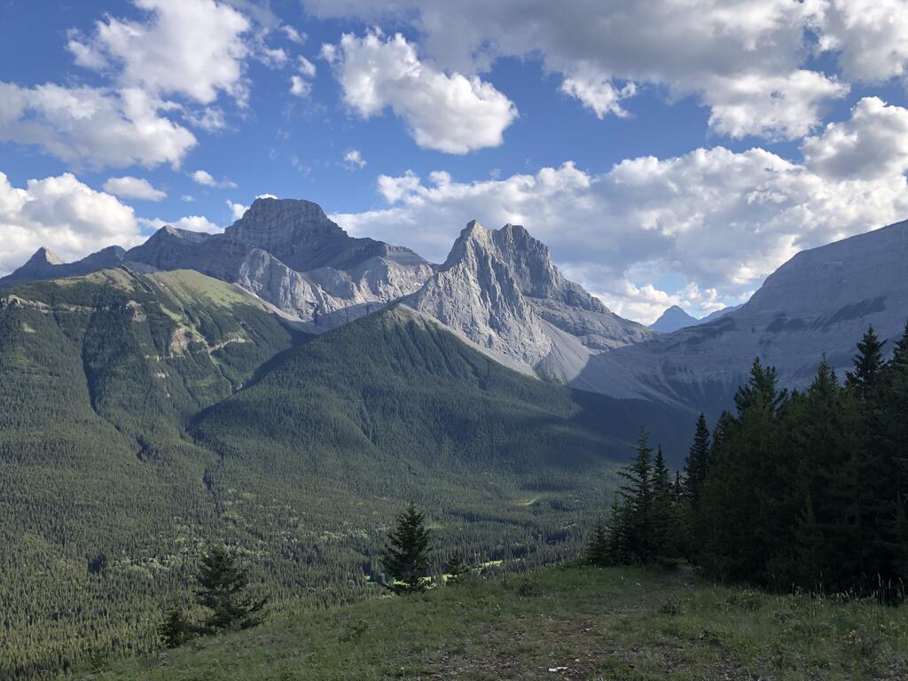
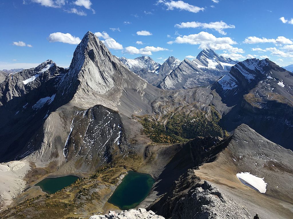
The mountain views of Kananaskis Country rival those of Banff National Park, but you will find the trails here much less crowded (especially on weekdays).
1. Galatea Lakes
Distance: 16.4 km
Elevation Gain: 838 m
Difficulty: Hard
Time: 5-6 hours
Map: AllTrails
The Galatea Lakes trail is a rewarding 16–18 km round trip hike with approximately 850 m of elevation gain. The trail begins with a series of bridges crossing Galatea Creek, leading hikers through dense forests and past cascading waterfalls.
As you ascend, the trail opens up to beautiful Lillian Lake, which is a serene spot nestled among the trees. Continuing onward, the path becomes steeper, guiding you to the stunning Upper and Lower Galatea Lakes, which a renowned for their azul alpine waters and surrounding rugged peaks.
This hike offers a mix of shaded forest paths and open alpine scenery, making it a favourite for those seeking both tranquillity and breathtaking views. Be prepared for a full-day adventure, and don’t forget your bear spray because this is a hike deep into bear country.
2. Wind Ridge
Distance: 12.8 km
Elevation Gain: 860 m
Difficulty: Hard
Time: 5-6 hours
Map: AllTrails
Wind Ridge is a challenging 12.8 km out-and-back trail with an elevation gain of about 860 m, taking approximately 4–6 hours to complete. Starting near the village of Dead Man’s Flats, the trail offers a steady climb through forests before reaching open ridges.
The ridge provides panoramic views of Mount Lougheed, the Three Sisters, and the Bow Valley. A small scramble near the summit adds excitement for experienced hikers, but caution is advised, especially in wet conditions.
This hike is best suited for those with a good fitness level and some scrambling experience. The breathtaking vistas at the top make the effort worthwhile, offering a memorable experience in the heart of the Rockies.
3. Mount Smutwood
Distance: 18 km round trip
Elevation Gain: 720 m to the pass
Duration: 6–8 hours
Difficulty: Hard
Map: AllTrails
This hike is a gem in Kananaskis, taking you through forests, alpine meadows, and into one of the most stunning basins in the Rockies. The final destination is Smutwood Pass, surrounded by dramatic peaks and often filled with wildflowers or golden larches in the fall.
The trail starts at the Mount Shark Trailhead and begins gently on an old road before getting steeper and more rugged as it follows Commonwealth Creek. Expect one major creek crossing (water shoes help!), followed by a steady climb into open alpine terrain. Once you’re at the pass, you’ll get panoramic views of Birdwood Peak, Commonwealth Peak, and Mount Smutwood.
You can stop at the pass and enjoy a well-earned lunch with insane views, or if you’re feeling energized, scramble a little higher up the Smutwood ridge for an even better vantage point. It’s a long day but 100% worth the effort for seasoned hikers looking for an unforgettable adventure.
4. Wasootch Ridge
Distance: 13 km round trip
Elevation Gain: 930 m
Difficulty: Hard
Time: 4–6 hours
Map: AllTrails
This is a long, scenic ridgewalk with constant views and no shortage of leg burn. The trail climbs quickly to the first ridge and then rolls along several false summits toward the high point.
Wasootch Ridge is all about the journey—not necessarily the final summit. You can turn back at any point, making it a flexible day hike. The views stretch from the front ranges to Barrier Lake and Mount Baldy.
There’s no water, no shade, and often plenty of wind, so come prepared. It’s a local favorite for early-season ridge hikes once the snow clears.
5. Sarrail Ridge via Rawson Lake
Distance: 11.5 km round trip
Elevation Gain: 670 m
Difficulty: Hard
Time: 6–7 hours
Map: AllTrails
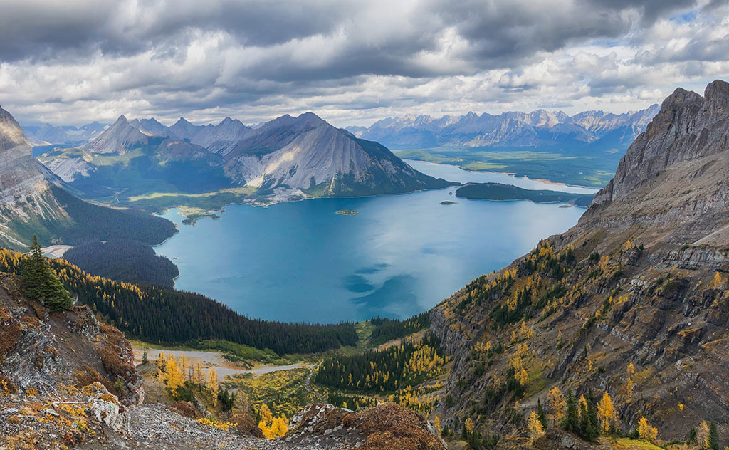
Sarrail Ridge delivers one of the most jaw-dropping views in all of Kananaskis. The hike starts off tame, with a pleasant trail that follows the shoreline of Upper Kananaskis Lake before climbing gently through forest to Rawson Lake. The lake itself is a worthy destination, but for those up for more, the real magic lies above.
From the far side of Rawson Lake, a steep, rooty, and often muddy trail climbs sharply up to the ridge. It’s a short but grueling section that gains most of the elevation quickly. Once on top, you’re rewarded with a full panorama over Rawson Lake, Upper and Lower Kananaskis Lakes, and the surrounding peaks stretching to the horizon.
The ridge is often breezy but incredibly scenic, especially in the fall when the larches light up the trail. It’s not technical, but it is steep and requires a reasonable level of fitness and caution. Bring layers, snacks, and a camera… this one’s a stunner.
6. Ha Ling Peak
Distance: 7.8 km round trip
Elevation Gain: 800 m
Difficulty: Moderate to Hard
Time: 3–4 hours
Map: AllTrails
This iconic Canmore hike is short and steep with big summit vibes. The well-maintained switchback trail leads quickly above treeline with increasingly awesome views over Bow Valley.
The final push includes a few exposed sections on loose scree, but nothing technical. At the top, you’re treated to one of the most photographed views in the area—perfect for sunrise missions or a post-brunch grind.
It’s popular for a reason, so go early or on a weekday if you want a little more solitude. Great bang-for-your-buck hike if you’ve got a half day and strong legs.
7. Tent Ridge Horseshoe
Distance: 11 km loop
Elevation Gain: 850 m
Duration: 4-6 hours
Difficulty: Moderate to Hard
Map: AllTrails
Tent Ridge is one of the most scenic ridge walks in Kananaskis, offering 360° views of Mount Assiniboine, Spray Lakes, and the entire Spray Valley. While most do it as a day hike, it’s a great overnight if you want to slow down or link it with nearby routes like Chester Lake or Mount Shark.
The route features a bit of scrambling and three distinct ridge sections, each more stunning than the last. On a clear day, you’ll see Mount Assiniboine, Spray Lakes and the endless Rocky Mountain skyline.
You can complete it in a day or spend the night below the ridge in tranquil forested meadows. Camping gives you sunrise and sunset light, plus the trail all to yourself once the crowds leave.
8. Prairie View Mountain
Distance: 12.5 km
Elevation Gain: 550 m
Difficulty: Moderate
Time: 4-5 hours
Map: AllTrails
Prairie View is a 12.5 km out-and-back trail with an elevation gain of about 550 m, typically taking 3–5 hours to complete. The trail starts near Barrier Lake and ascends gradually through forests and switchbacks.
At the summit, hikers are rewarded with expansive views of Barrier Lake, the Rocky Mountains to the west, and the foothills to the east. On clear days, it’s even possible to glimpse downtown Calgary in the distance.
This moderate hike is suitable for those seeking a half-day adventure with rewarding vistas. It’s especially popular during the shoulder seasons when the trail is less crowded.
9. Chester Lake
Distance: 9.3 km
Elevation Gain: 310 m
Difficulty: Moderate
Time: 3-4 hours
Map: AllTrails
Chester Lake is a 9.3 km round trip hike with an elevation gain of approximately 433 m, considered easy to moderate. The trail leads through mixed forests and alpine meadows to a clear lake nestled beneath towering peaks.
The area is renowned for its stunning scenery, particularly during the fall when larch trees turn golden. It’s also a popular destination for snowshoeing in the winter months.
This hike is perfect for families and those seeking a leisurely day in nature. The well-maintained trail and breathtaking surroundings make it a must-visit in Kananaskis Country.
10. Ptarmigan Cirque
Distance: 4.5 km
Elevation Gain: 210 m
Difficulty: Moderate
Time: 1-2 hours
Map: AllTrails
Ptarmigan Cirque is a short and scenic 4.5 km loop with around 210 m of elevation gain. Starting at the highest paved pass in Canada, Highwood Pass, the trail quickly rises above the treeline into a stunning alpine bowl. It’s a great intro to high-elevation hiking without the suffering.
This trail features mountain views, waterfalls, and carpets of wildflowers in late summer. Interpretive signs along the way offer insights into the geology and ecology of the area, making it a fun and educational experience.
Perfect for beginners or families, Ptarmigan Cirque packs a punch in a short time. Be sure to check seasonal closures, as the area is often closed until mid-June to protect wildlife. I’d also recommend doing Aresthra Cirque in the area, which is an excellent 2-3 hour hike.
11. Picklejar Lakes
Distance: 10.8 km
Elevation Gain: 500 m
Difficulty: Hard
Time: 4-5 hours
Map: AllTrails
Picklejar Lakes is a 10.5 km out-and-back hike with about 500 m of elevation gain, rated moderate. The trail starts steep and rocky but rewards you with a series of four alpine lakes tucked into a gorgeous mountain valley. It’s a local favorite that still flies under the radar.
The terrain shifts from steep forest to wide meadows, giving hikers a lot of variety. The lakes are crystal-clear and often surrounded by snow-dusted peaks, making it an ideal spot for a peaceful snack or quick cold plunge.
It’s a great intermediate trail—challenging enough to get your heart rate up, but not a sufferfest. Bring bug spray, good shoes, and your sense of adventure.
12. King Creek Ridge
- Distance: ~7.3 km round trip
- Elevation Gain: ~740 m
- Difficulty: Hard
- Time: 3.5–5 hours
- AllTrails Link
King Creek Ridge is short, steep, and spectacular—one of those hikes that gives you big rewards in a relatively small package. The trail wastes no time, shooting straight uphill from the start through forested slopes before breaking into open terrain along the ridge. The grind pays off quickly as you gain elevation fast, with views opening up over the Kananaskis Valley and the jagged Opal Range.
Once you’re on the ridge, it’s a choose-your-own-adventure. You can stop at the first major viewpoint for an epic picnic or continue along the ridgeline for more cardio and bigger views. The farther you go, the more dramatic it gets—just watch your footing as some sections are narrow and exposed.
This is a hike best done on a clear day with dry conditions. It can be windy and slippery near the summit, especially early or late in the season. Not recommended for those with a fear of heights, but perfect if you love ridge walks and quick elevation gain.
13. Nihahi Ridge (South Summit)
- Distance: ~12.5 km round trip
- Elevation Gain: ~750 m
- Difficulty: Hard
- Time: 4–5 hours
- Map: AllTrails
This lesser-known gem starts from the Little Elbow Campground and winds up through the forest before transitioning to open slopes and ridge terrain. It’s a steady climb with beautiful transitions from forest to alpine, culminating in a wide-open ridge with panoramic views of the Elbow Valley, Banded Peak, and Mount Glasgow.
The south summit section offers a fun bit of scrambling and hands-on rock navigation if you’re in the mood for some extra adventure. It’s less trafficked than some of the more popular ridges in Kananaskis, so you may find yourself with the summit all to yourself on a weekday.
This is a solid half-day hike for those looking for something that combines solitude, ridge views, and a bit of a challenge. Just be aware that the trail can get windy and exposed near the top—bring layers and keep your footing steady.
4. The Green Monster (Evan-Thomas Creek)
Distance: 12 km round trip
Elevation Gain: 350 m
Difficulty: Moderate (but with one challenging section)
Time: 3–5 hours
Map: AllTrails
Don’t let the spooky name fool you, the Green Monster is more of a unique adventure than a terrifying hike. This trail follows Evan-Thomas Creek, offering a pleasant walk through a narrow, scenic canyon with mossy cliffs and water-polished rock. It’s not a formal, marked trail, so route-finding adds a bit of spice.
The real action comes about halfway in, where you encounter a short, steep canyon section with chains and ropes installed to help you climb. It’s just technical enough to be exciting but short enough not to overwhelm. Past the scramble, the trail opens to a stunning icefall known as the Green Monster, which is a massive, vertical ice wall in the colder months.
This is a fun option for adventurous hikers looking for something different than your standard summit hike. This hike is best done in the winter with snowshoes or spikes when the ice formations truly live up to their name.
15. Troll Falls
Distance: 3.7 km round trip
Elevation Gain: 60 m
Difficulty: Easy
Time: 1–1.5 hours
Maps: AllTrails
Troll Falls is one of the most beloved family hikes in Kananaskis—and for good reason. It’s short, flat, and scenic, winding through aspen groves and pine forest before arriving at a magical little waterfall tucked into a mossy rock amphitheater. Kids love it. Adults love it. Even grumpy hikers love it.
In the winter, the frozen waterfall transforms into a shimmering column of ice. Upper Troll Falls, just a short but steeper climb beyond, offers an even bigger, wilder cascade. Both versions are well worth the visit and great for photographers.
This is a hike you can easily squeeze into a morning or afternoon, and it’s open year-round. Just expect some company—this one’s no secret, especially on weekends and holidays.
Bonus: Epic Multi-Day Treks With Backcountry Camping
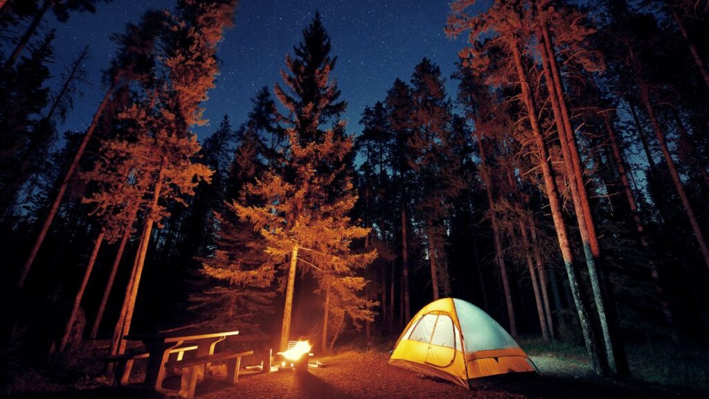
If you’re not an experienced backcountry hiker and camper, then I’d recommend hiring a hiking guide for your treks in Kananaskis Country and Banff National Park.
Planning Tips:
1. Permits: Backcountry camping permits are required and can be booked through Alberta Parks.
2. Season: The best time for these treks is typically from late June to September, depending on snow conditions.
3. Preparation: Ensure you’re equipped with proper gear, bear safety knowledge, and check trail conditions before heading out.
5. Bear Safety: Everyone should take a bear safety course before backcountry camping and carry bear spray at all times as most of Kananaskis Country is prime grizzly bear habitat.
6. Hiking Guides: Support Indigenous ecotourism and local hiking guides for a better experience learning about local history, culture and ecology.
If you’re looking for a challenge, these are some of the best multi-day treks for backcountry camping in Kananaskis Country.
16. Elk Lakes & Petain Basin
Distance: 35.8 km
Elevation Gain: 1,276 m
Duration: 2–3 days
Difficulty: Easy
Campsites: Forks, Three Isle Lake, Turbine Canyon
A mellow but scenic trek into British Columbia through Elk Pass, where you’ll find flower-filled meadows, crystal-clear lakes, and towering peaks. Set up base at Elk Lakes Campground and take a day trip into the dramatic Petain Basin to see waterfalls and glaciers.
17. Turbine Canyon & Three Isle Lake Loop
Distance: 44.0 km
Elevation Gain: 2,127 m
Duration: 4–5 days
Difficulty: Very Hard
Campsites: Three Isle Lake, Turbine Canyon, Forks
One of the most epic multi-day loops in Kananaskis, this route crosses North and South Kananaskis Passes and visits alpine lakes, waterfalls, and deep canyons. Campsites are spaced perfectly for long days and big views, with Turbine Canyon being a true backcountry highlight.
18. Great Divide Trail – Section B (Crowsnest Pass to Kananaskis)
Distance: 195 km
Elevation Gain: Varies
Duration: 7–10 days
Difficulty: Hard
Campsites: Mix of designated backcountry sites, random camping zones, and wilderness camping
This section of the Great Divide Trail takes you through remote valleys, rugged ridgelines, and pristine wilderness from Crowsnest Pass to Peter Lougheed Provincial Park. It’s a serious thru-hike experience with a mix of official campgrounds and wild, off-grid camping—best for experienced hikers with strong navigation and self-reliance.
19. Mount Assiniboine Traverse
Distance: 25.5–32.3 km one-way (depending on route)
Elevation Gain: 766–1,625 m
Duration: 4–5 days
Difficulty: Moderate
Campsites: Og Lake, Lake Magog, Porcupine, Bryant Creek (BC Parks + Banff NP)
Known as the “Matterhorn of the Rockies,” Mount Assiniboine offers a remote alpine experience with stunning peaks, lakes, and meadows. The popular trekking route from Mount Shark at the south end of Spray Lakes in Kananaskis Country is an excellent hike in through Assiniboine Pass and out through Wonder Pass.
20. Northover Ridge Traverse
Distance: 35 km (varies by route)
Elevation Gain: 1,500 m
Duration: 2–3 days
Difficulty: Hard
Campsites: Aster Lake, Three Isle Lake
This rugged alpine circuit links Aster and Three Isle Lakes with a legendary ridgeline walk straddling the Continental Divide. The exposed traverse requires solid navigation, a head for heights, and clear weather—but rewards with some of the best views in the Canadian Rockies.
21. Tombstone Lakes via Elbow Lake
Distance: 14.8 km
Elevation Gain: 391 m
Duration: 2–3 days
Difficulty: Easy
Campsites: Tombstone Backcountry Campground
This is a great weekend overnight for a quick escape. The hike to Tombstone Lakes follows Big Elbow Trail and is a relatively gentle climb through forest and meadow to a pristine alpine lake basin. There is excellent camping at the Tombstone Campground.
22. Aster Lake via Upper Kananaskis Lake
Distance: 22 km round trip
Elevation Gain: 750 m
Duration: 2–3 days
Difficulty: Hard
Campsites: Aster Lake
Starting from Upper Kananaskis Lake, this trail climbs steadily past Hidden Lake and up to the stunning turquoise waters of Aster Lake, surrounded by towering peaks and alpine wilderness. It’s a gateway to big scrambles and alpine traverses like Northover Ridge. The area is remote and wild—ideal for experienced backpackers ready for a rugged and unforgettable overnight.
23. Burstall Pass Dark Sky Zone
Distance: 16 km round trip
Elevation Gain: 470 m
Duration: 1–2 days
Difficulty: Moderate
Campsite: Random camping near the pass (practice Leave No Trace)
Burstall Pass is a scenic alpine route featuring creeks, meadows, and panoramic views of Mount Assiniboine and the Spray Range. Though often done as a day hike, it makes a peaceful overnight option for those looking to camp near the pass and enjoy sunrise or stargazing in solitude. The approach through the marshy flats adds a fun challenge with multiple stream crossings.
24. Quaite Valley And Engagement Mountain
Distance: 8 km round trip
Elevation Gain: 250 m
Duration: 1–2 days
Difficulty: Easy
Campsite: Quaite Valley Backcountry Campground
This is one of the easiest overnight options in Kananaskis and a great introduction to backpacking. The trail winds gently through forested valley terrain, leading to a quiet, sheltered campground with good tent pads and bear lockers. It’s perfect for families, beginners, or those just wanting a quick unplug and reset in nature.
25. Mist Mountain Overnight via Mist Creek Trail
Distance: 12–14 km round trip (depending on camping spot)
Elevation Gain: 1,250 m
Duration: 2 days
Difficulty: Hard
Campsites: Random camping in Mist Creek basin (permit required – Elbow-Sheep Wildland)
Mist Mountain is typically tackled as a day hike, but it makes for a great overnight trip if you want to take your time, enjoy the natural hot springs, and catch sunrise or sunset from the alpine. Start from the Mist Creek trailhead off Highway 40, hike in about 6–7 km and then you can set up camp in the meadows below the peak near the creek.
Frequently Asked Questions About Kananaskis Country:
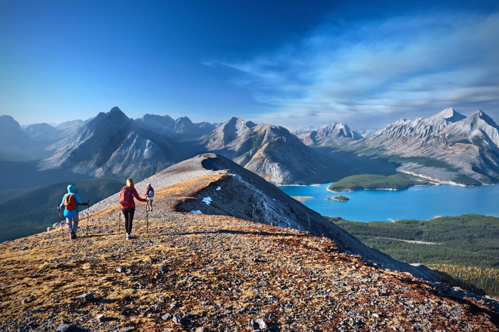
Kananaskis Country is Banff National Park’s lesser known twin, but it’s just as beautiful (in fact, the ridgeline hikes are generally more spectacular in Kananaskis).
If you want to avoid the crowds, hike here on weekdays because most of the hikers are from the cities of Calgary or Edmonton on the weekends.
How does Kananaskis Country compare to Banff National Park?
In high season from June to September, popular places in Banff National Park can feel overrun by mobs of tourists and tour bus groups.
Kananaskis Country is a great alternative because you will avoid the high season crowds and the trails, mountains and glacial lakes are just as beautiful as in the Banff.
In terms of size, Banff National Park is 6,641 square kilometres (2,564 square miles) and Kananaskis Country is 4,000 square kilometres (1,544 square miles) of peaks and valleys in the Canadian Rockies.
Where does the name Kananaskis originate from?
According to popular legend, Kananaskis got its name 150 years ago from an early European explorer of the region named John Palliser after he heard a Cree tale about “Kin-e-a-kis” (the word translates as “the one who is grateful”), a native warrior who survived after receiving a devastating blow to the head with an axe in a fight over a woman at the confluence of the Bow and Kananaskis Rivers.
The local Stoney Nakoda First Nation refers to the Kananaskis area as Ozada, which means the “meeting of the waters” in the Stoney Language.
What is the First Nations history of Kananaskis Country?
Archaeological evidence proves that there have been humans living in Kananaskis for over 8000 years.
The Kananaskis region lies within Treaty 7 lands in the traditional territories of the Ĩyãħé Nakoda (Stoney), Tsuut’ina, Kainai (Blood), and Siksika (Blackfoot) First Nations, and within Region 3 of the Métis Nation of Alberta.
What famous movies and TV shows have been filmed here?
You will recognize many places in Kananaskis Country from famous movies and TV shows as it is probably the most popular spot in Alberta for feature films.
Recently, the Netflix TV series series Last of Us was filmed in the area.
Famous Hollywood movies filmed here include Planet of the Apes (2017), The Revenant (2015), The Bourne Legacy (2012), Inception (2010) and Brokeback Mountain (2005).
Is Kananaskis as good as Banff for seeing wildlife?
Yes, you can see just as much wildlife in Kananaskis Country as Banff National Park.
The deep forests, valleys, and hills of Kananaskis Country are home to an abundance of western Canada’s most legendary wildlife. Grizzly and black bears, moose, elk, Bighorn sheep, mountain goats, mule and white-tailed deer, cougars, lynx, wolves, coyotes, and numerous ground animals.
Kananaskis is also ecologically important to Southern Alberta as home to the headwaters of many important rivers on the west side of the Continent Divide, including the Sheep River, Elbow River, Pekisko River, Spray River and Kananaskis River which form a significant part of the Bow and South Saskatchewan River watersheds that provide drinking water for millions of people in Alberta and Saskatchewan.
What is the highest mountain peak in Kananaskis Country?
There are 370 named mountains in Kananaskis Country and the tallest and most prominent is Mount Joffre 3434 m (11,263 feet).
The mountain was named in 1918 by the Interprovincial Boundary Survey after Marshal Joseph Joffre, commander-in-chief of the French Army during World War I. The Kananaskis region includes eleven official mountain subranges but there is some overlap between ranges and groups.
One of the best ways to hike to Mount Assiniboine 3,618 m (11,870 ft), the highest peak in the southern ranges of the Canadian Rockies, starts in Kananaskis Country.
I have been running mindful hiking retreats for the last 7 years that integrate mindful awareness, experiential learning and community building practices.
I have been an experiential learning designer for over a decade through my company DIY Genius, which helps creative people productize their expertise.
I love flying my drone and sharing my adventures on my Instagram.
- 10 Best Multi-Day Hikes In Banff And The Canadian Rockies - April 18, 2025
- The 10 Best Hikes At Lake O’Hara In Yoho National Park - April 18, 2025
- The 10 Best Hikes In Banff National Park For Summit Views - April 18, 2025